About
About
Global Ministry Overview
History
Meet our Team
Statement of Faith
The Board of Trustees
The International Director
International Service Center Team Members
The World Leadership Team
Youth for Christ Logo
Nations
Pray
ePray Devotionals
Events
Global Day of Prayer & Fasting
Prayer Resources
WakeUp Deborah
Area Prayer Updates
Serve
Stories
Videos
Contact
Donate
EN
FR
ES
Select Language
Afrikaans
Albanian
Arabic
Bulgarian
Czech
Danish
Dutch
English
Filipino
French
German
Hindi
Irish
Italian
Korean
Kyrgyz
Myanmar (Burmese)
Nepali
Portuguese
Romanian
Russian
Samoan
Serbian
Slovak
Slovenian
Spanish
Sudanese
Tajik
Tamil
Thai
Ukrainian
Uzbek
Search for:
Search
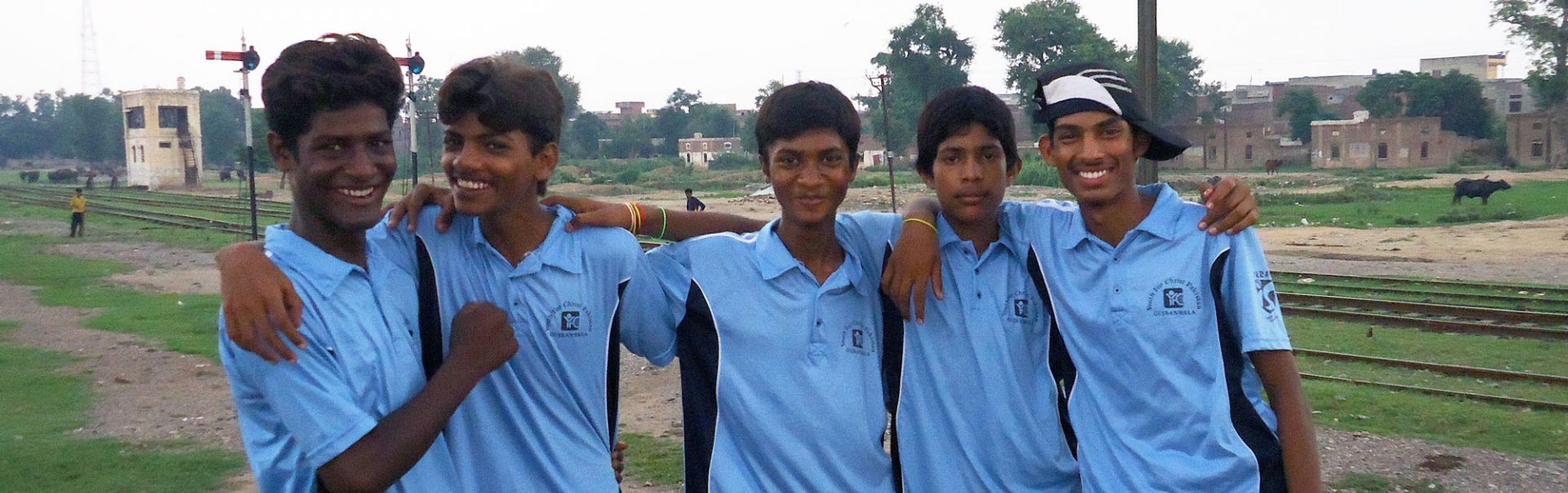
Protected: Pakistan
Back to Nations Main Page
This content is password protected. To view it please enter your password below:
Password: